INSPECTION DRONE PHOTOGRAPHY
Comprehensive Property Assessment
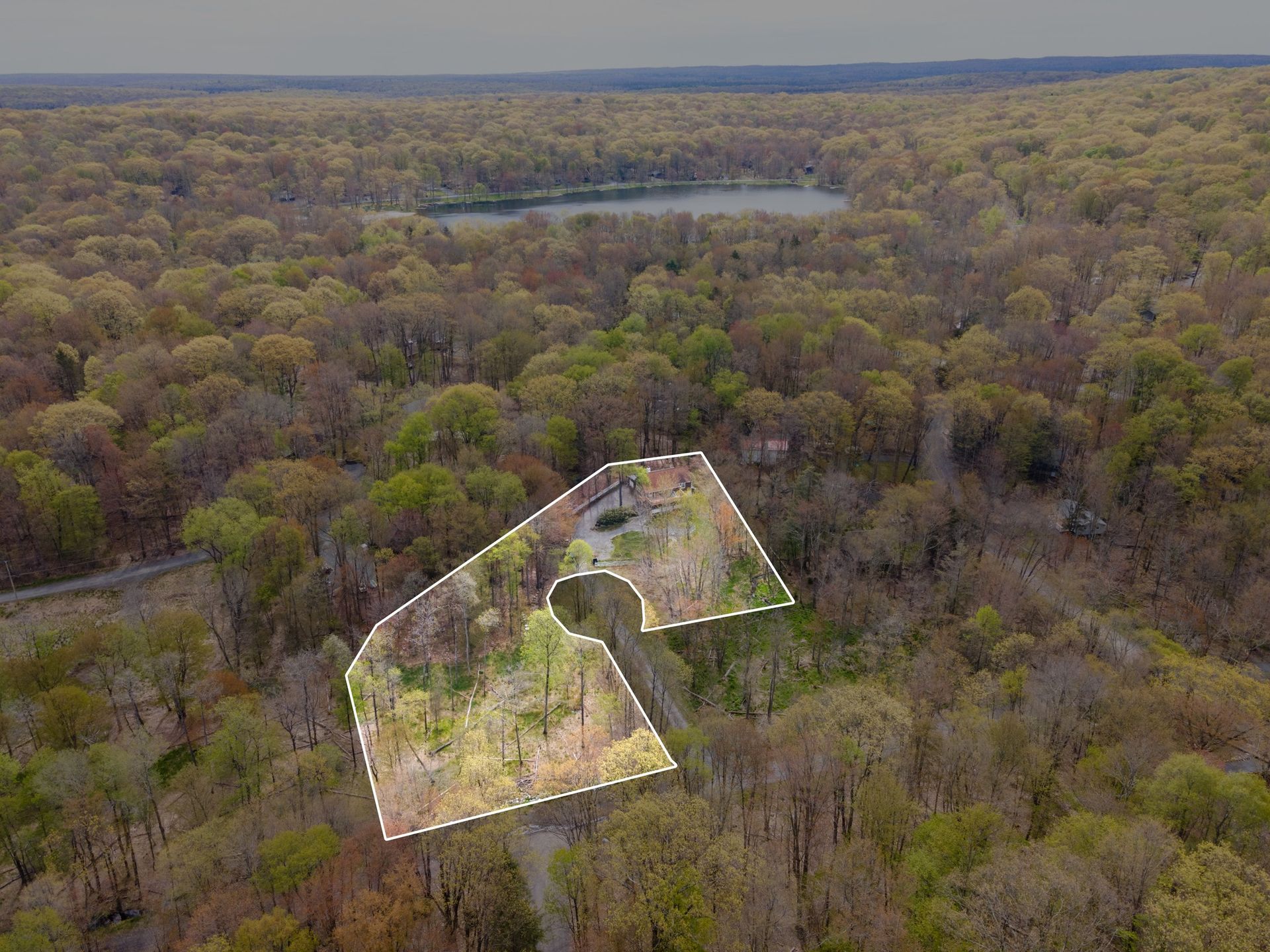
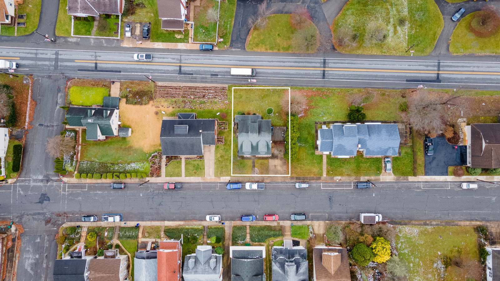
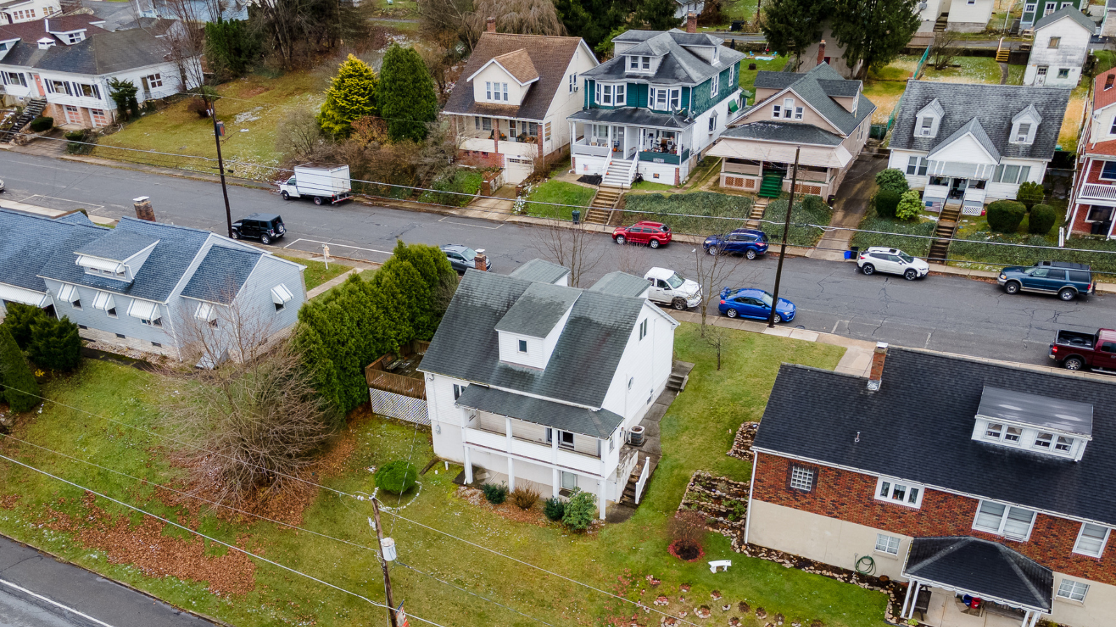
Inspection drone photography offers a holistic view of properties, assisting home inspection companies, buyers, and sellers. Aerial perspectives capture intricate details of rooftops, facades, and challenging-to-access areas, enabling thorough assessments that enhance the understanding of a property's condition and potential concerns.
Transparent and Detailed Documentation
Drones provide transparent and detailed documentation for property assessments. Aerial imagery offers buyers and sellers clear visual evidence of a property's state, facilitating transparent discussions and informed decisions. It enhances traditional inspections by showcasing a comprehensive view, ensuring confidence in the inspection process.
Efficiency and Safety in Inspections
Drone-based inspections optimize efficiency and safety. By minimizing the need for manual inspections in hazardous or inaccessible spots, drones mitigate risks for inspectors while expediting evaluations. This efficiency not only saves time for inspection companies but also assures buyers and sellers of accurate, timely property assessments.
Inspection drone photography offers unparalleled access, capturing intricate property details from vantage points impossible to reach otherwise. This technology ensures thorough assessments, providing comprehensive visual data that enhances property evaluations for buyers, sellers, and inspection companies alike.