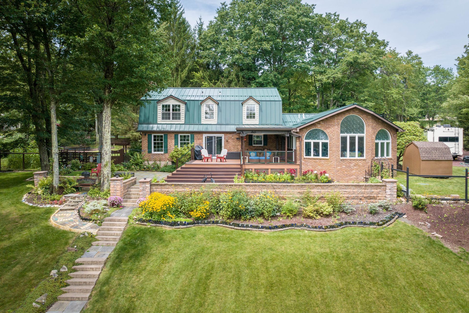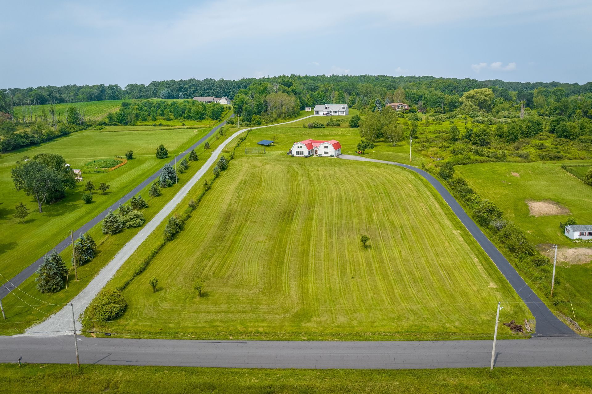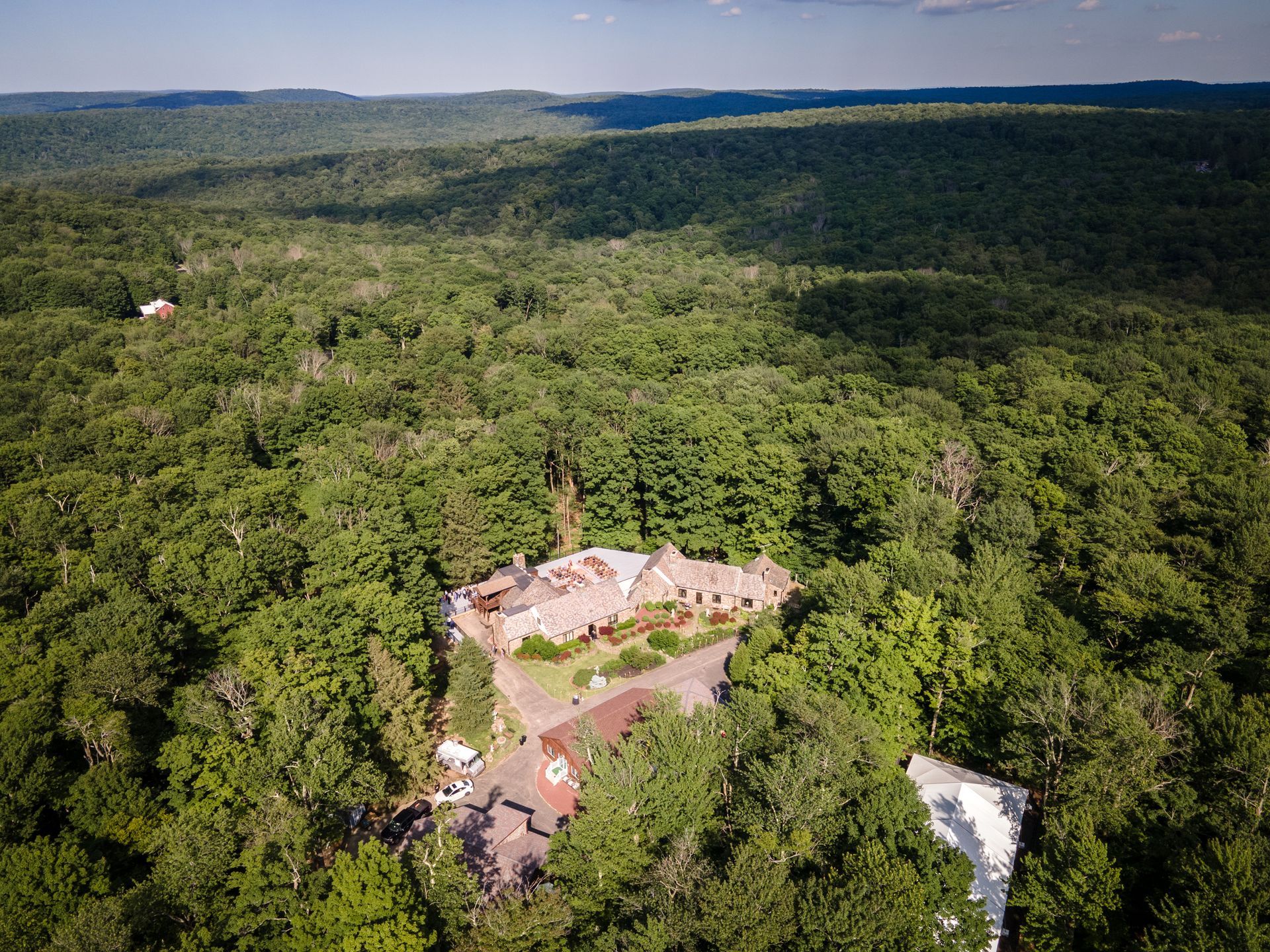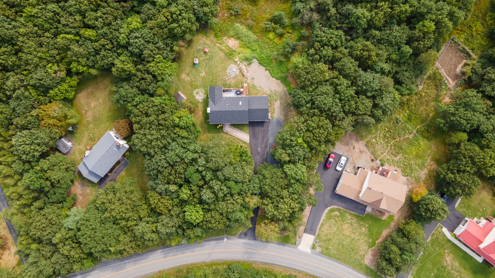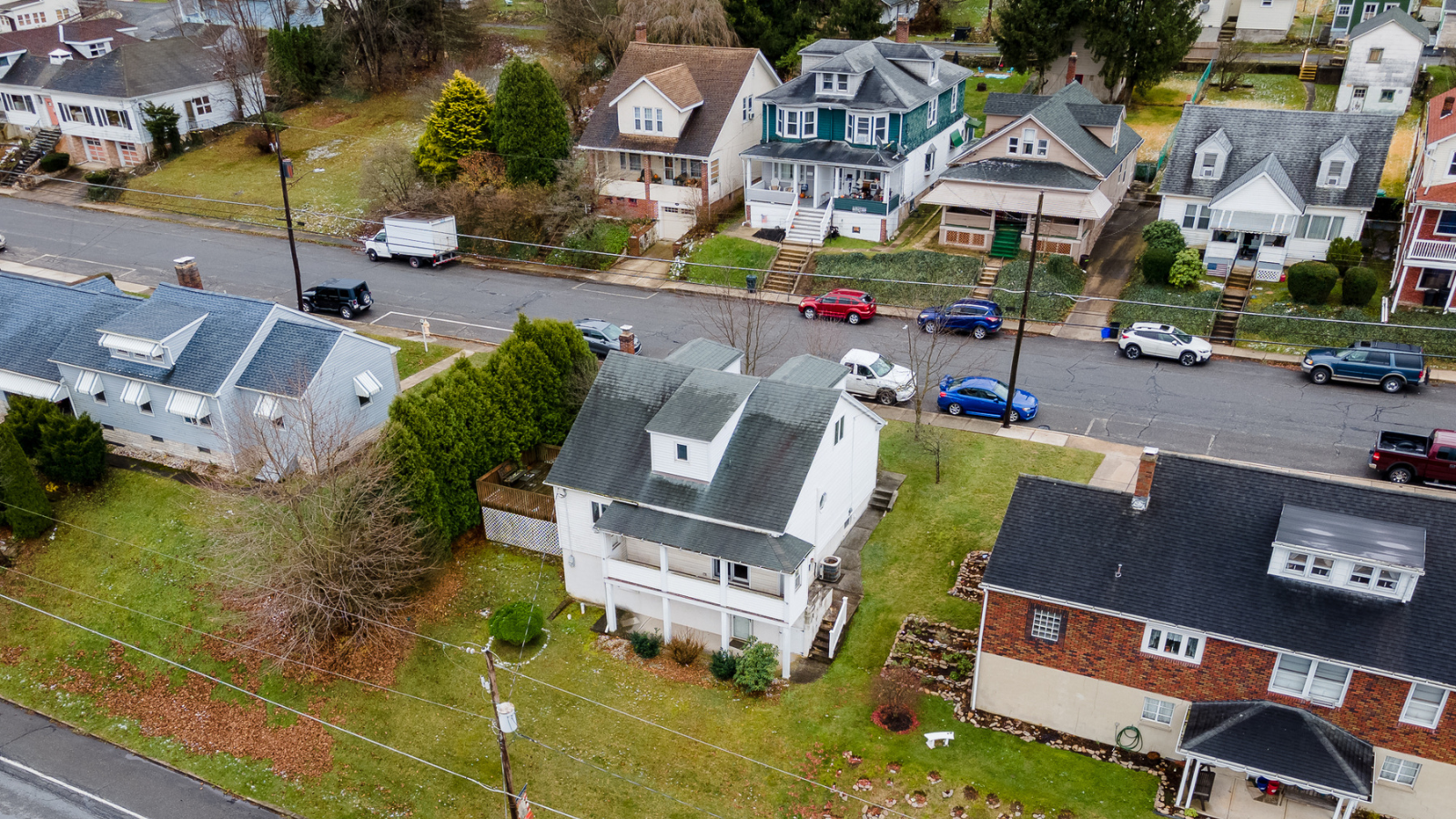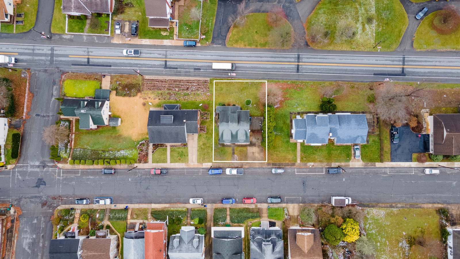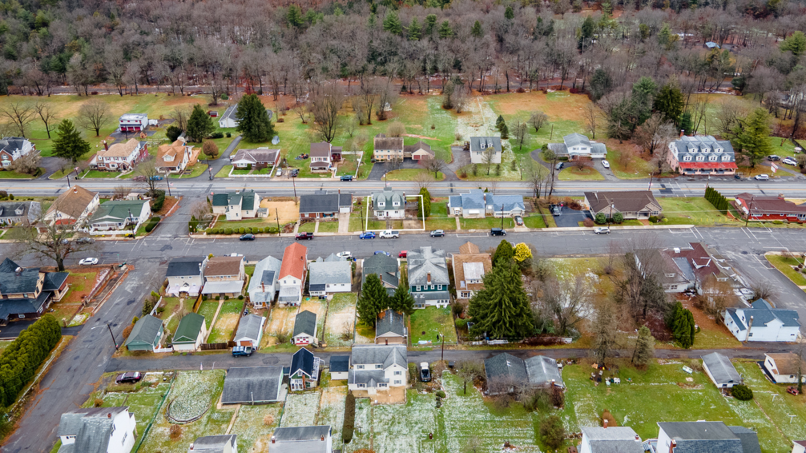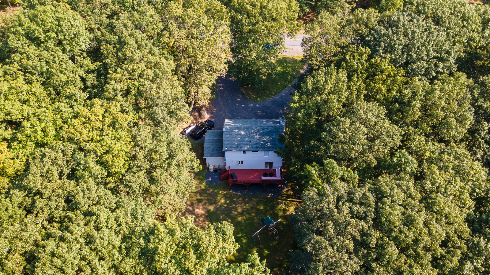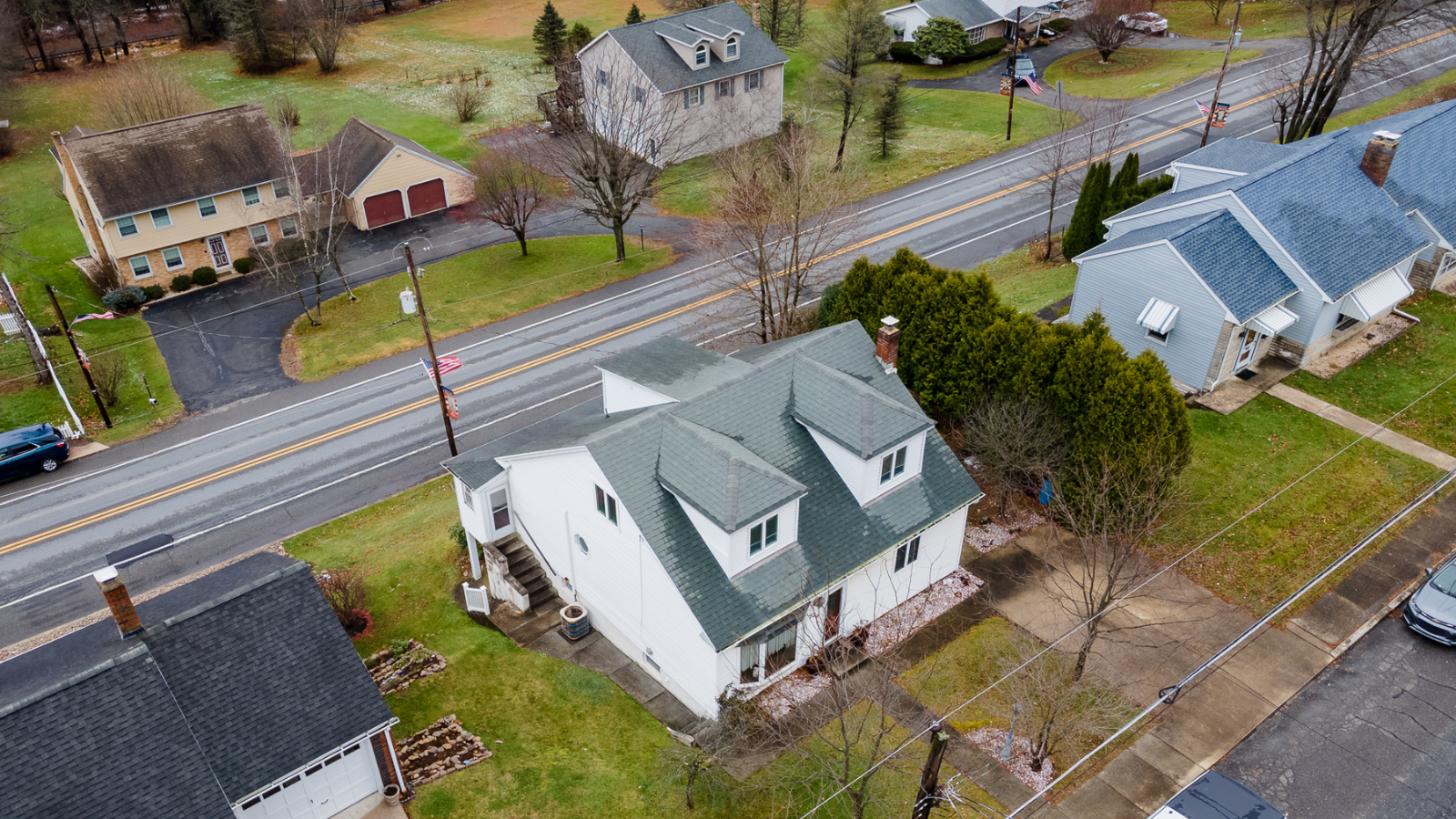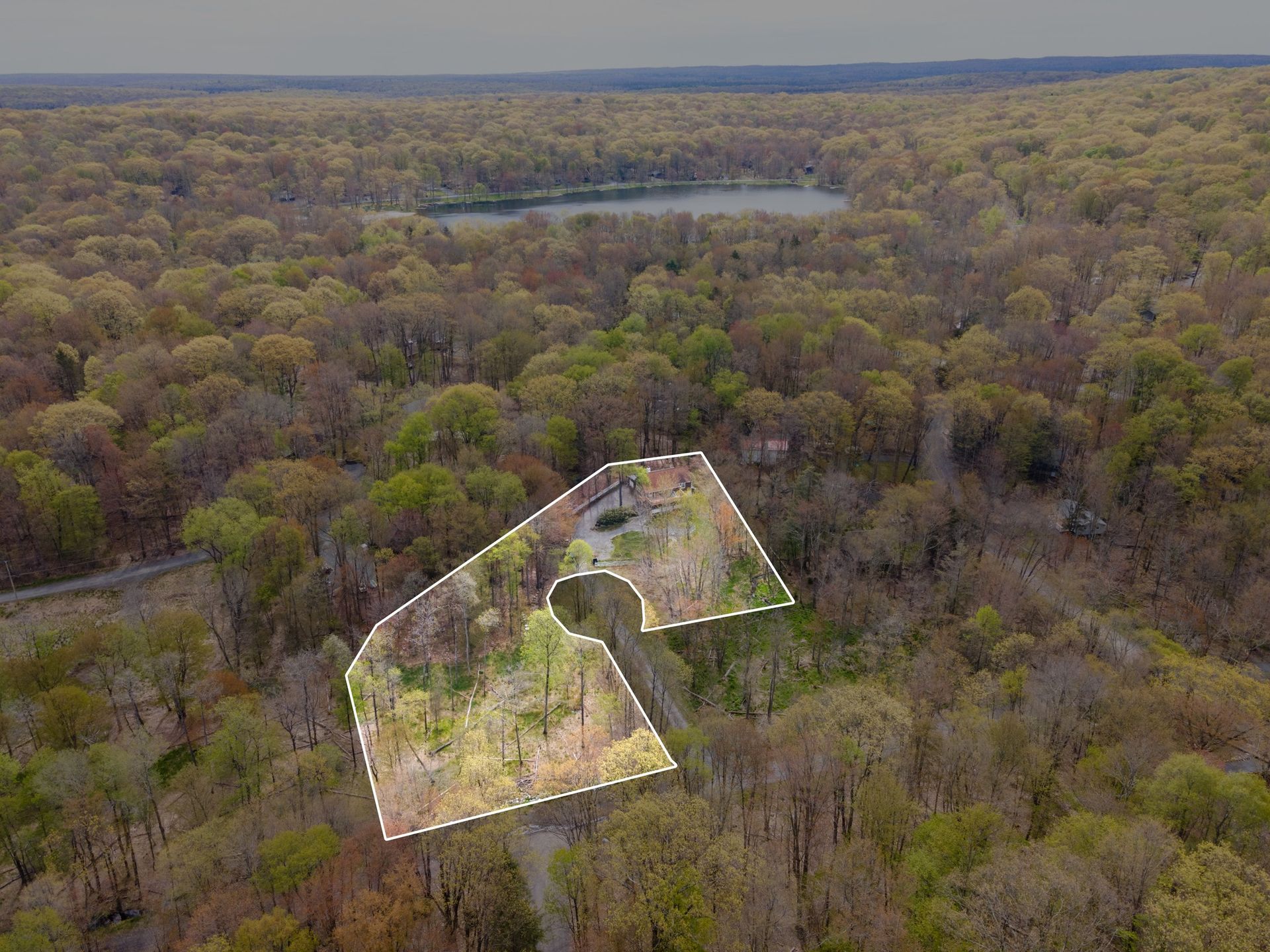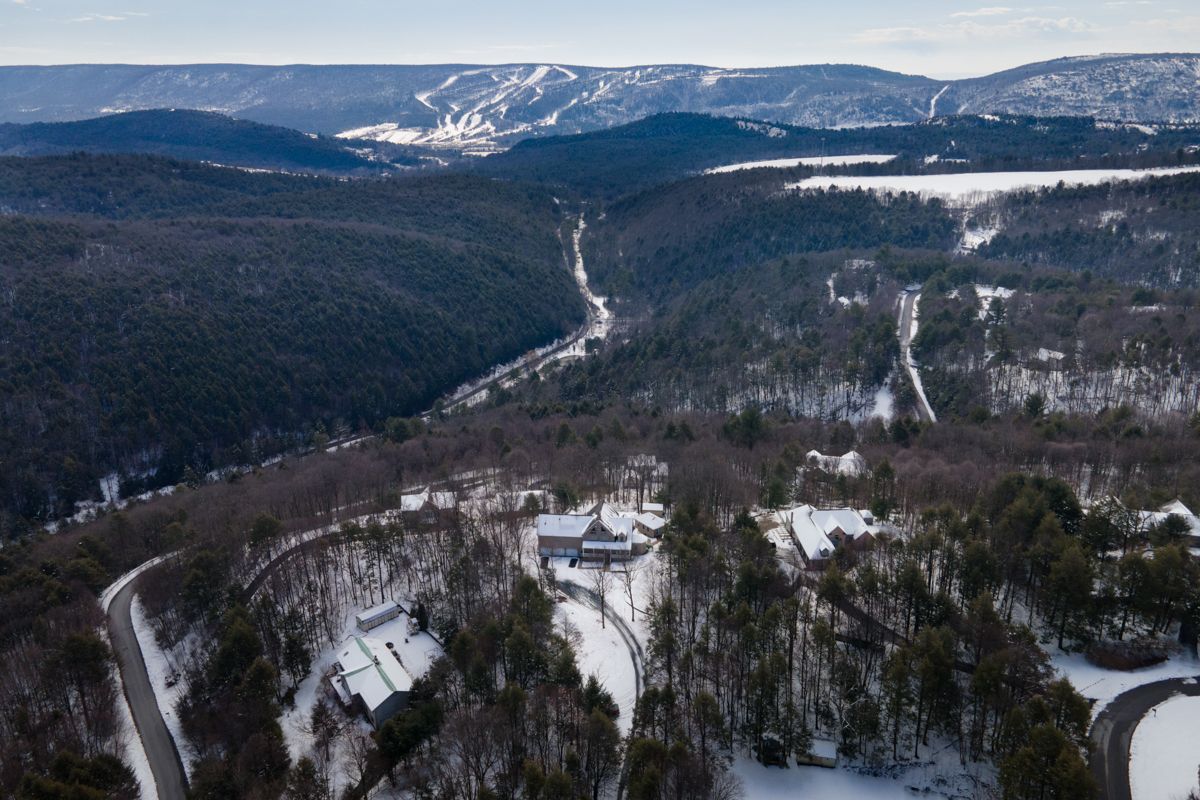
REAL ESTATE DRONE PHOTOGRAPHY
Enhanced Property Visibility
Aerial views captured by our drones offer comprehensive property visuals, showcasing landscapes and layout, giving buyers and sellers a complete understanding of the surroundings.
Immersive Marketing Advantage
Drone photography creates captivating content, attracting more attention and engaging potential buyers with dynamic aerial perspectives that highlight a property's unique features.
DRONE REGULATIONS
Our drone photography services adhere to all drone flying regulations and possess proper licensing. This ensures not only high-quality visuals but also mitigates any risk for homeowners, providing a safe and legally compliant aerial perspective of their property.
Real estate aerial photography offers a captivating bird's-eye view, showcasing properties in their entirety, emphasizing unique features, and providing a comprehensive perspective. Its aerial vantage point enhances marketing, enabling potential buyers to grasp property layouts, surrounding landscapes, and neighborhood amenities, elevating the appeal and understanding of listed homes.